
Camping - Shenandoah River State Park - Bentonville, Virginia - September 2022
I spent a week at Shenandoah River State Park in Bentonville, Virginia. The park is directly on the south fork of the Shenandoah River. It is located about halfway between the towns of Front Royal (to the north) and Luray (to the south). And is near the northern end of Skyline Drive in Shenandoah National Park. It has more than 1,600 acres along 5.2 miles of shoreline. The park was dedicated in 1999 and thus is a relatively new Virginia State Park.
The campground is one of the few Virginia State Parks that offers camping year-round. The developed campground has 31 sites with water and electric hookups and can accommodate RVs up to 60 feet long. The campground has centrally located restrooms with hot showers. Sites have fire-rings, picnic tables and lantern holders. I stayed in site number 19. It is a back-in site with a level, gravel surface. It also had a very large gravel tent pad adjacent with a picnic table and fire ring. The sites overall in this park were very large, far apart from each other, and level.
https://www.dcr.virginia.gov/state-parks/shenandoah-river
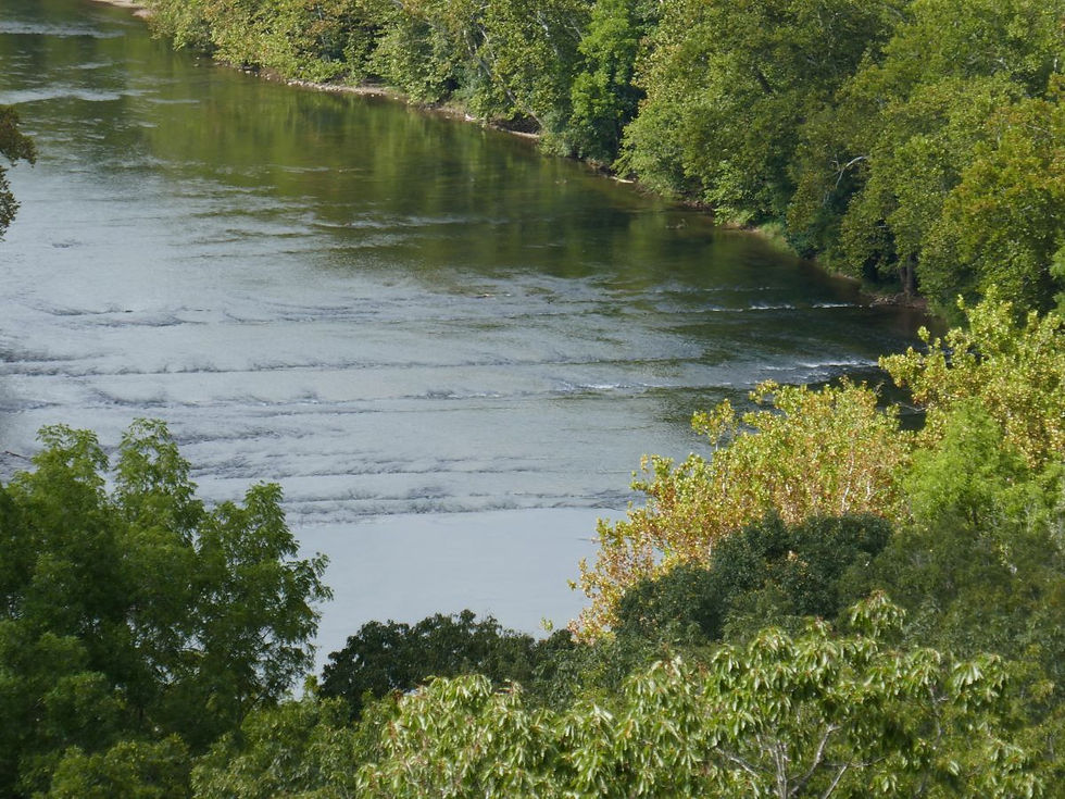
Throughout the week, I visited a bunch of local (and some distant) attractions and sites, but first, some information about the river itself. The Shenandoah River is a main tributary of the Potomac River. It consists of the North Fork and the South Fork. Each fork is approximately 100 miles long. Both forks as well as the main river, flow mainly from south to north. The North and South forks flank the Massanutten mountain range. The forks come together at their confluence just north of Front Royal to form the main Shenandoah River.
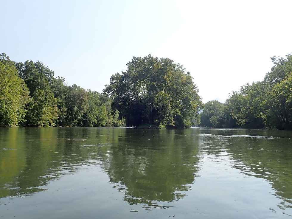
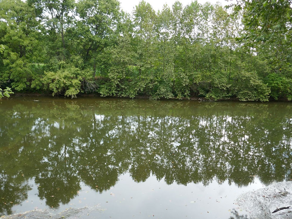
I kayaked part of the south fork through a local outfitter called Front Royal Outdoors. I paddled 7 miles from Karo Landing to Front Royal Landing. This section of river contains numerous riffles and a couple of Class I rapids. (Class I is the easiest class of rapids.) The water level is fairly low this time of year, so it was a nice slow float. This section (and probably most sections) of the river is gorgeous. The water was clear and about 73 degrees.
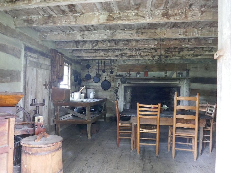
I visited two other state parks that were (somewhat) nearby. Sky Meadows State Park is near Paris, Virginia about 27 miles northeast of Shenandoah River State Park. The land the park occupies dates back to an original land grant that was owned by Lord Fairfax. The park contains 1800 acres. The first 1100 acres were donated to the state in 1975 for the creation of a state park. The park contains 3 miles of the Appalachian Trail. There is a historic area that features the mid-19th century Mount Bleak House. The area also has a log cabin, wash house, ice house and kitchen garden. There are 22 miles of trails in the park some of which traverse active cattle pastures. Seven Bends State Park is on the other side of Massanutten Mountain from Shenandoah River State Park about 38 miles away. It is on the North Fork of the Shenandoah River near Woodstock, Virginia. The park is about 1000 acres and provides hand-carry boat access to the river. Much of the land that forms the park was donated to the state. Part of the property that the state purchased was the former Camp Lupton, which was created as a boys camp and was part of Massanutten Military Academy. Both the parks have really cool kids "discovery" areas built with natural materials.
I walked on the Luray Hawksbill Greenway in downtown Luray. It's a nice peaceful path that follows the creek and traverses parts of the downtown area. While in the Luray area, I stopped by a historic mill called Willow Grove Mill. Before the establishment of the town, activity in the area was focused around the mill. Powered by an 18-foot overshot water wheel, the mill was a prime example of the mills that later earned the Valley the title of “Bread Basket of the Confederacy.”
Also, in Luray, I visited the fantastic Luray Caverns which are the largest caverns on the east coast. The caverns were discovered in 1878. The tours are self-guided along a 1.5 mile paved pathway. The formations and pools are stunning. And there is the famous Great Stalacpipe Organ near the end. The organ is operated by a custom console that produces the tapping of stalactites of varying sizes with solenoid-actuated rubber mallets in order to produce tones.
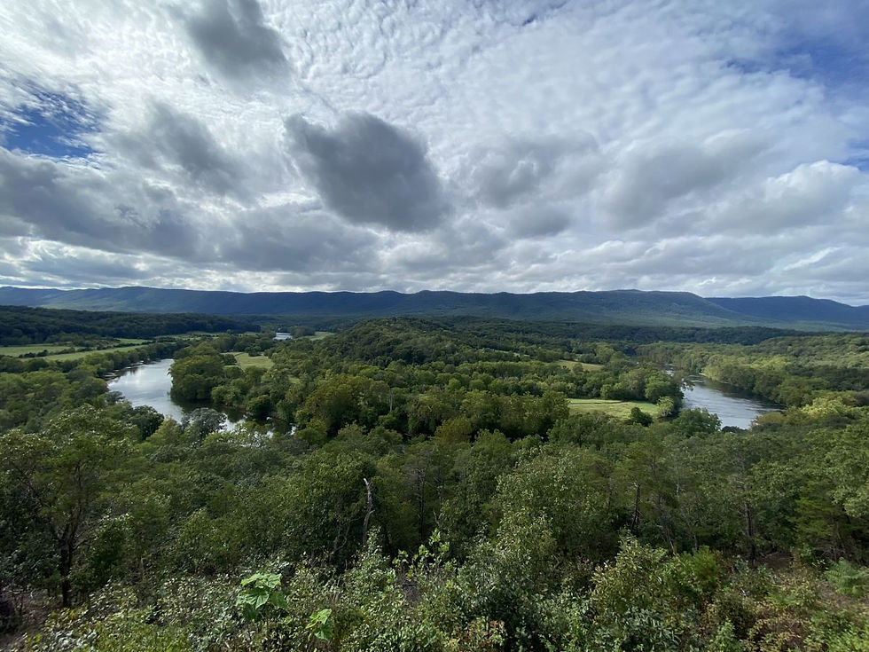
I hiked on a number of cool trails. The Massanutten Storybook trail is short (only 0.5 miles) and paved. It leads to an overlook with spectacular views over the rocks.
On my last day, I drove the entire length of Skyline Drive through Shenandoah National Park. The park was established on December 26, 1935. Skyline Drive is 105 miles long and runs from Front Royal to Rockfish Gap which is between Charlottesville and Wayneboro. The maximum speed limit on Skyline Drive is 35 miles per hour. The speed limit drops to 25 miles per hour in areas of more congestion near the visitor centers and major attractions. Shenandoah National Park was created as the first national park in the east. The park contains 101 miles of the Appalachian Trail. The park has a total of 500 miles of trails. I stopped and had lunch at Big Meadows Lodge which is at mile marker 51 and is at the approximate center of the park. The lodge has an outdoor deck that provides great views of the Shenandoah Valley.
This was a great trip and a great area to visit. It's definitely an area that you could visit multiple times and see different things and see things during different seasons.
Campsite Details
Site 19 - $35/night
Check in Time 4:00 PM
Check out Time 1:00 PM
Electricity Hookup - 20-30-50
Water Hookup - Yes
Maximum Number of People 6
Pets Allowed - Yes
Max Number of Vehicles - 2
Driveway Surface - Gravel
Site Type - Back In
Max Vehicle Length - 60
Full Sun
Site Length - 89
Site Width - 16
Tent Pad - Yes
Tent Pad Length - 33
Tent Pad Width - 23
Campfire Allowed - Yes
Fire Pit - Yes
Picnic Table - Yes
Proximity to Bathhouse - 165
Park and Campsite


Kayaking


Sky Meadows State Park


Seven Bends State Park


Massanutten Storybook and Wildflower Trails


Luray


Luray Caverns


Skyline Drive - Shenandoah National Park
(warning LOTS of pictures)


