Sunday, June 25, 2017 - Bob's Fishing Hole - Northwest River
Yesterday was scorching hot and humid so, I decided to wait until today to go kayaking. I launched from Bob's Fishing Hole which is located on South Battlefield Blvd just below the end of the Chesapeake Expressway. It's a nice little place to launch and gives you access to the western side of the Northwest River. There are lots of options to paddle. You can go east or west and if you go west, you have multiple options there.
Bob's only charges $2 to launch a kayak and they have a couple of formal boat ramps and lots of places to launch from the bank. The water level was relatively high, so I launched right from the bank. There were a bunch of folks out fishing, but there was plenty of space to park.
I decided to go west and then take the eastern side of the split. From Bob's, you pass under a railroad bridge that was built in 1909 and is still in use. Then you pass under the bridges that are part of Route 168. Lots of traffic heading to and from the Outer Banks.
The barnswallows nest under the bridge, and they were out in full force flitting and darting about under the bridge.
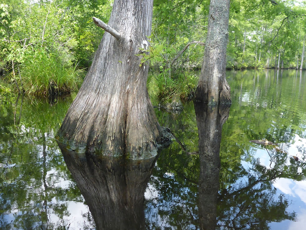
There was a slight breeze at times (which was refreshing) but otherwise, it was very calm on the river. I have launched from Bob's before but had not ever paddled this side. There were lots of little creeks and cut-ins to explore. It always reminds me of Yoda training Luke Skywalker in the the swamp, but these areas are still fairly open and not "swampy".
I heard lots of birds, but never saw any. I did see a lot of turtles sunning themselves. Usually, they are quick to slip back into the water when you approach, but I was able to get some shots of a few of them. I was also able to find three geocaches along the way. And yes, that's a hornet's nest in the middle of a vines of poison ivy in the picture.
I had two different dragonflies land on the front of my kayak and ride there for a while. Dragonflies seem to own these rivers. They are everywhere! This part of the river is mostly uninhabited, but I did see a few signs of human habitation.
I saw a little bit of duckweed starting to accumulate. Duckweed floats on the surface and is an important food source in the ecosystem. Although it tends to make the surface of the water look a bit "scummy", the water is still clear and not at all stagnant.
This was a great paddle. Calm and peaceful. Not too hot. Just enough breeze. Lots of things to see. Great day.
3 hours and 23 minutes on the water and 5.7 miles on the GPS. Scroll below the pictures to see the track map.
Edit: Here's the GoPro video.