Saturday, July 30, 2016 - Pungo Ferry Road - Spitzli Creek
Well, it's been hotter than heck these past two weeks. So much so that it just seemed too dangerous to go out and risk being in that heat. Virginia Beach reportedly had a heat index of 120° on Thursday. YIKES!! This is not Phoenix. AND we have had some crazy humidity. But, surprisingly, not much rainfall.
The forecast for today was for temperatures in the upper 80s with heat index numbers about 10 degrees higher. Hot but manageable. So the plan was to get out on the water early in the day, paddle for a few hours, and then get out of the sun. There was also a 40% chance of thunderstorms forecast for the afternoon.
I decided to launched at Pungo Ferry Road and go south of the bridge. The water level was pretty high so I was able to go out to the right of the old pilings and avoid the lines from the boat that is still tied up there.
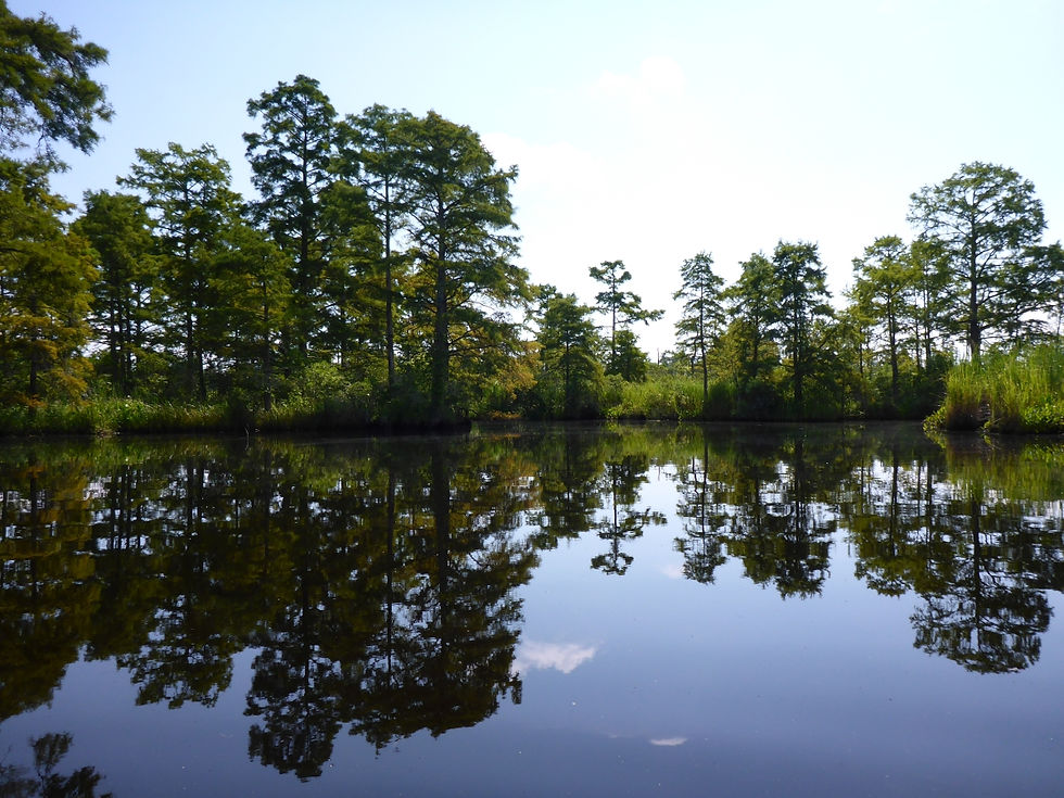
I went into the oxbow and and then went up a little creek that heads to the east. There are a good number of trees along the creek so there was a good amount of shade and the creek is protected from larger boats. The trees also provide lots of interesting things to see. And despite there being no clouds when i left my house, the whole paddle was mostly cloudy ... which on a hot day is a GOOD thing. Since the creek is protected (and narrow), the water was very still which made for some great reflections.
I noticed a number of trees that have been knocked or blown over. But if you take a close look, you will see that these trees have created additional habitat space of loads of other plant life.
Near the end of the creek, there is a little dock/pier. The last time we paddled down here, there was a nice older couple sitting out there fishing. No one was out there this time. At the very end, the creek becomes a cut ditch. And yes, that is CORN along the edge.
I came back down the creek and continued around the oxbow. There is a single house out on the end of a point of land. If you look near the red car, you will see a pretty good sized flock of sheep that were free-ranging on the property.
I was able to get a bunch of pictures of lots of different cloud formations. They would portend the coming thunderstorms that (fortunately) didn't come up until I was all the way back home.
AND I was able (mostly by luck) to get a picture of not ONE, but TWO dragonflies in flight.
As I headed back up the main river toward the bridge, I passed a boat (with a bunch of guys and a dog) that was tending the line of pots (crab pots? Isn't this freshwater? Do they catch fish in pots?) just outside the marked channel. And right behind them was the largest barge I can ever remember seeing this far down the river. It was BIG!
It was hot when I got back, so although I had planned to fly the Phantom to get a panorama of the bridge, I decided not to do that, and I will come back later and do it.
Great day today. 2 hours and 18 minutes on the water and 4.7 miles on the GPS. Scroll below the pictures to see the track map.
And big thanks to both Jamie and Kate who helped me unload when I got back. I was tired!
Edit: Here's the the GoPro video.